
Ipswich, Massachusetts 1832
A map of Ipswich Massachusetts by Philander Anderson.

Ipswich, Massachusetts. 1832
Notice that the current Washington Street is called Gravel Street, which follows the path of the current Liberty Street to Lord Square. The current Mineral Street is called Back Street here. Gravel Street takes its name from the two open gravel pits depicted on the map, one at the corner of Back Street and the other at the turn of what is now Liberty Street.

Closeup of the Ipswich Village inset
A KMZ file viewable in Google Earth is of the village inset map is available here.
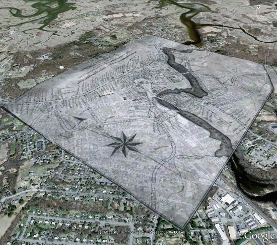
Village inset map manipulated in Google Earth
This map can also be seen directly in Google Maps using a normal browser here.