Hans Island
It looks like Greenland doesn’t want to get involved in the whole Hans Island mess brewing between Canada and Denmark. I’m sure they don’t want to turn into a battlefield between the two countries: Take Hans to the U.N.
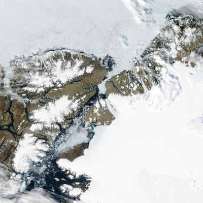
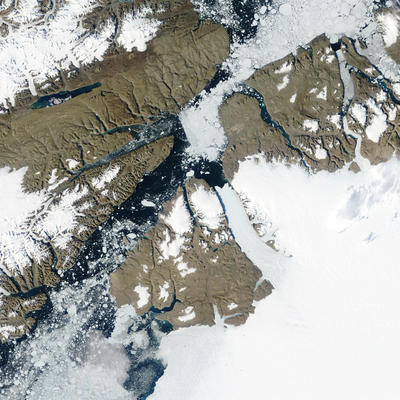
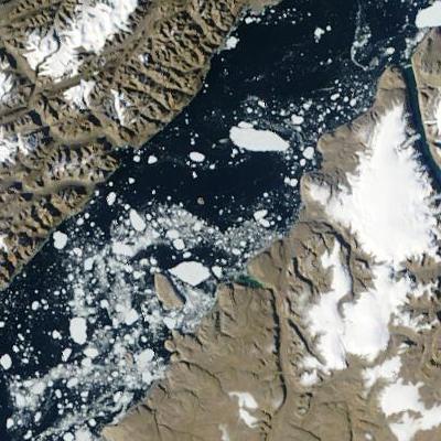
NASA’s magnificent Visible Earth project has incredible, high-resolution satellite photos available that show the area in detail. Even with all the news about the island it’s actually difficult to find any decent maps because it’s so tiny and located in such a remote area.
Below is one of the NASA images zooming in on Hans Island. For orientation, see this map (click on section “5”; Hans is shown in the Kennedy Channel there). Mouse-over the images below to see the area encompassed by the next level of detail.

Ellesmere Island and Northern Greenland. See: Original Satellite Images

Kennedy Channel between Kane Basin and Hall Basin

Hans Island in center of Kennedy Channel

